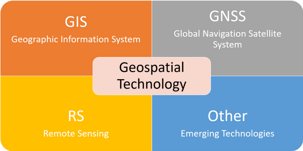
Michael Konvicka, CyFair GIS professor, share with us the ever changing world of Graphical Information Systems and geospatial technologies. It seems we are just now scratching the surface of all the ways geographic information can be used to map and analyze the world around us. From agriculture to utilities, from energy companies to local, state and federal governments, the information is now integral in everyday operations.
You can view Michael's presentation
here.